by RS-GIS-Ecology Book | Nov 11, 2015 | general
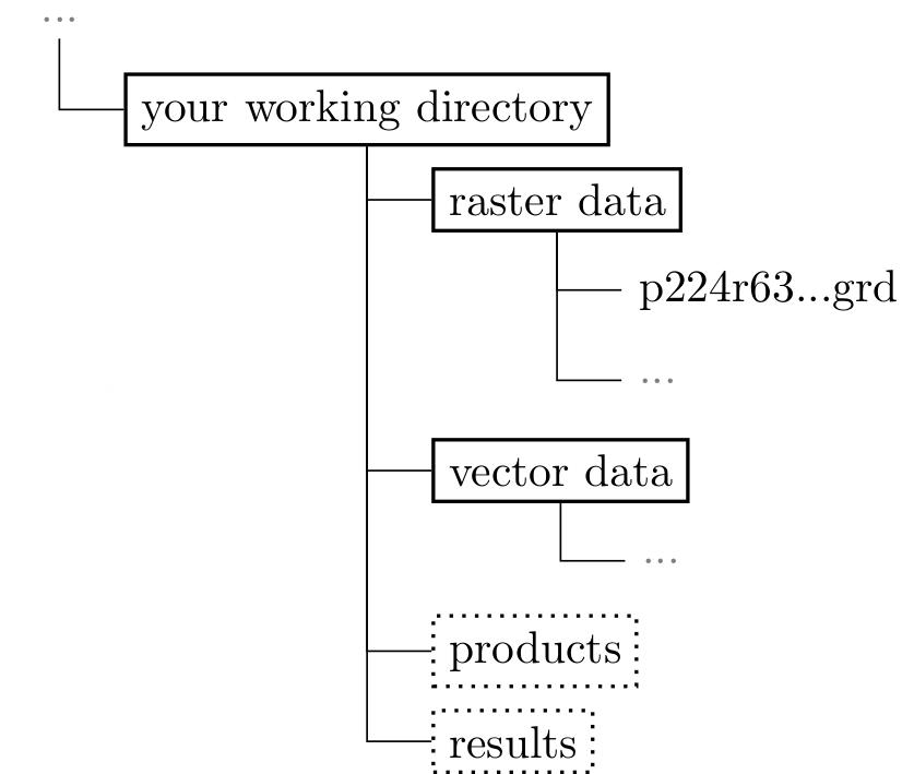
we uploaded and linked all data sets used in our book on the “data” page of our webpage. Cropped Landsat data as original as well as pre-processed files can be downloaded. Moreover a variety of vector files and final products created in the chapters are...
by RS-GIS-Ecology Book | Oct 27, 2015 | general
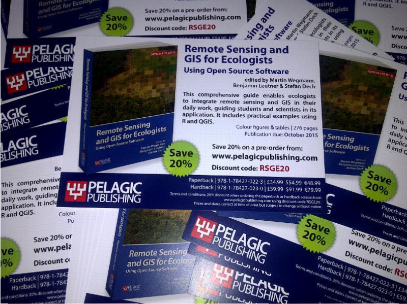
We received the final electronic proof of our book “Remote Sensing and GIS for Ecologists – Using Open Source software”. The printed versions of our book should be available soon and we are very much looking forward to it. The publisher is still...
by RS-GIS-Ecology Book | Oct 5, 2015 | general
Our book “Remote Sensing and GIS for Ecologists – Using Open Source software” will soon be available. We worked through the 3rd proof and fixed all remaining issues. Looking forward to the printed version. The book offers a great overview of Remote Sensing...
by RS-GIS-Ecology Book | Oct 5, 2015 | general
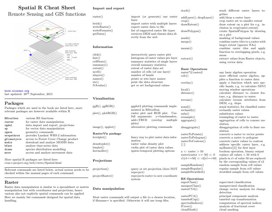
We updated our cheatsheet on spatial data handling in R. Beside some minor changes of common raster commands we also added now some of the new RStoolbox commands within a Remote Sensing operations section such as the command for supervised classification, fractional...

by RS-GIS-Ecology Book | Sep 20, 2015 | general
The copy-edited proof of our book “Remote Sensing and GIS for Ecologists – Using Open Source software” is finally done and we just need to fix some issues with the image colouring. We are positive that the printed version will be available later in...