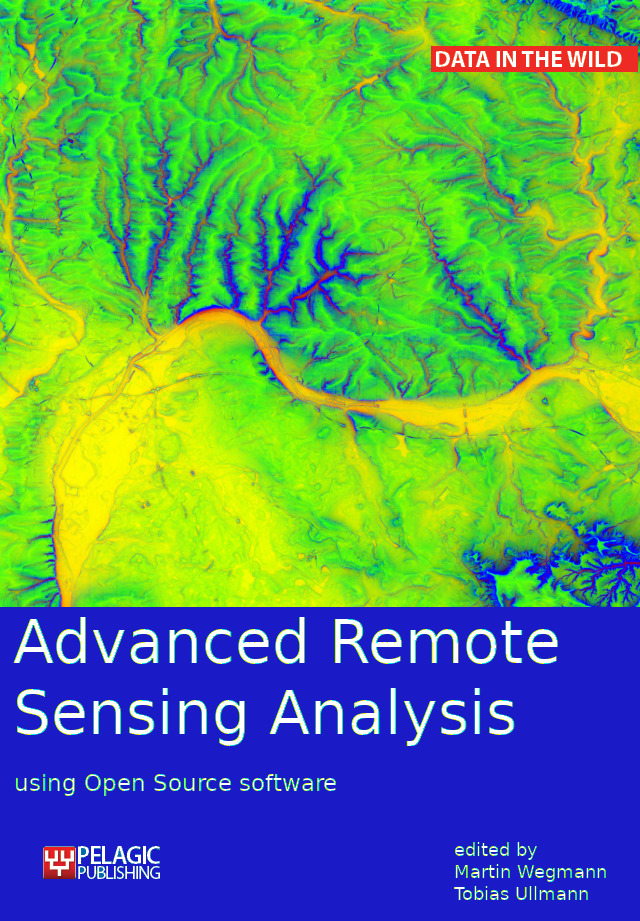
Advanced Remote Sensing Book
using Open Source software and covering active and passive sensors as well as advanced analytical methods.
A sound understanding of remote sensing and coding is expected.
About The Book
This book covers a wide range of methods and data such as:
- hyperspectral
- radar
- multispectral time-series
- LiDAR
- UAV
- ML and DL techniques
all data and code will be explained and provided in the book. Software used are Open Source such as R, Python or SNAP.
This book starts where the already published book “Remote Sensing and GIS for Ecologists” ends: more complex approaches like Deep Learning, active data sets and multi-sensor approaches such as image fusion are covered as well as different software environments (SNAP, R, Python, Java Script).
All chapters work again on the same data set. Our study region is the research forest of the University of Würzburg where we have LiDAR, Hyperspectral, UAV as well as in-situ data available.
The book is clearly aiming at the experienced spatial data analyst. Sound GIS and remote sensing knowledge as well as software skills are expected.
Working with different data sets, programming languages and methods for various application is covered in this book
Various colleagues with extensive experience in the data and methods are authoring the chapters:
- Hannes Feilhauer (Uni Leipzig)
- Martin Bachmann (DLR)
- Stephanie Holzwarth (DLR)
- Paul Magdon (Uni. Gö.)
- Anne Scharf (MPI-AB)
- Benjamin Leutner (DLR)
- Thomas Jagdhuber (DLR)
- Jakob Schwalb-Willmann (Uni Wü)
- Michael Thiel (Uni Wü)
- …
What’s inside
Various Remote Sensing Data Sets
active to passive and more
Software
SNAP, R, Python or Java Script
Multi-Sensor
combination of different data sets within modelling or fusion approaches
Data Analysis
mono-sensor, multi-sensor, time-series, deep learning ….
Application
case studies for specific applications
One Study Region
All examples are done within one study region and all data will be available
Other books
Introduction to Spatial Data Analysis
Intro book!
a book for getting started with spatial data – download, analysis and mapping using QGIS and a smooth introduction to coding with R


