An Introduction to Spatial Data Analysis
Make your first steps in working with spatial data – from data access and collection to data handling and analysis – using QGIS. Learn, how to conduct your own spatial studies and get a smooth introduction to spatial coding with R.
“An Introduction to Spatial Data Analysis” is now available for shipping! Order today at pelagicpublishing.com to save 30% in price using using the discount code SPATIAL30 during checkout!
The book is accompanied by a collection of data sets that can be used to do different exercises throughout the book. Download the accompanying data here!
About The Book
This textbook aims at students and researchers without any prior knowledge of spatial data analysis. The book introduces basic concepts and principles of spatial data to novice users (coordinate systems, vector vs. raster data, layering etc.) and covers all necessary steps to get started with handling, exploring and analyzing spatial data. Using practical examples, the book covers all necessary steps from planning field campaigns to deriving ecologically relevant information through remote sensing.
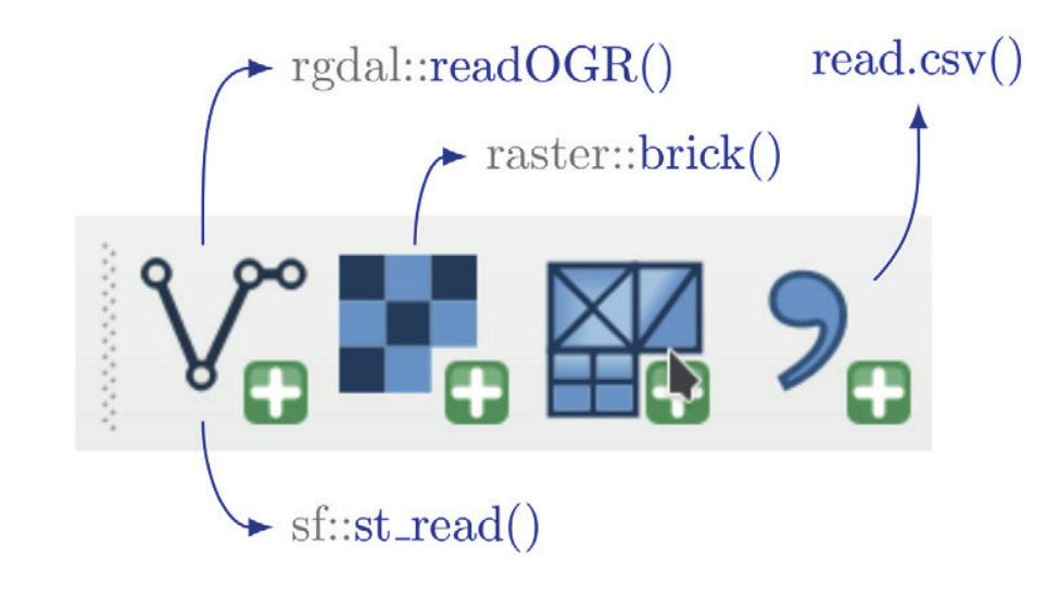
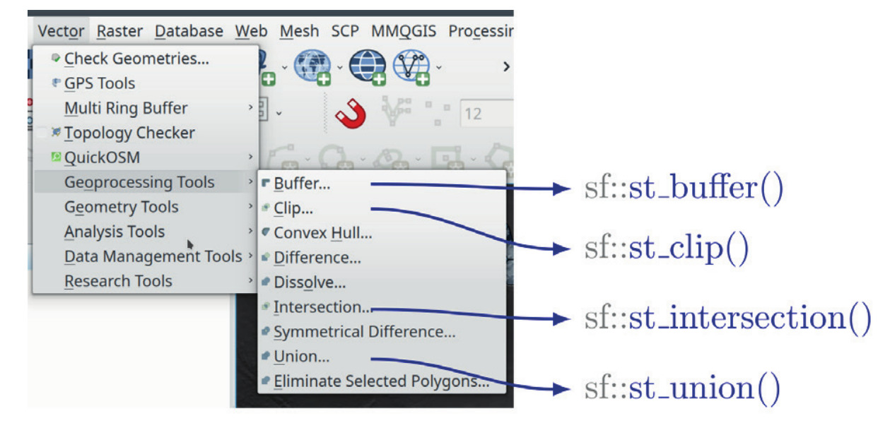
An Introduction to Spatial Data Analysis introduces spatial data handling using the open source software Quantum GIS (QGIS). All fundamental steps to achieve a first spatial data analysis project are outlined with clear explanations and screenshots of the software. The book ends with a first introduction into spatial data analysis with the command line, introducing the programming environment R.
The authors explain the fundamentals of spatial data handling and analysis, empowering the reader to turn data acquired in the field into actual spatial data. Readers will learn to process and analyse spatial data of different types and interpret the data and results.
After finishing this book, readers will be able to address questions such as “What is the distance to the border of the protected area?”, “Which points are located close to a road?”, “Which fraction of land cover types exist in my study area?” using different software and techniques.
The book is covering the following topics:
- introduction to spatial data basics
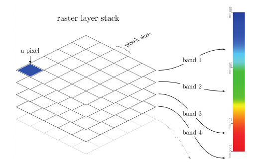
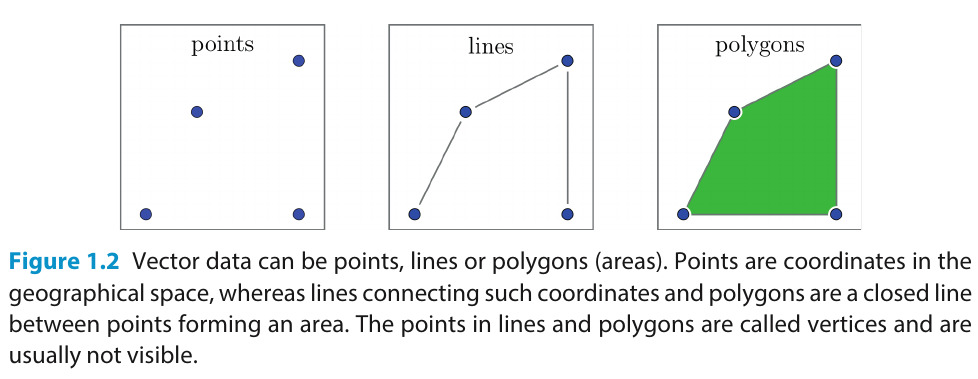
- data types (vector, raster)
- coordinate systems and projections
- data access & (pre-)processing
- remote sensing basic physics/principles
- creating maps & spatial visualizations
- working with in-situ data & GPS
- spatial data analysis (e.g. land cover)
- spatial data software (QGIS, R)
- & many more.
The book ends where the already published book “Remote Sensing and GIS for Ecologists”, addressing users already familiar with the basics of spatial data analysis, starts.
What’s inside
Spatial Data Handling
First simple examples
Data Access
Vector and Raster
Data Modification
Reprojection, Clipping, …
Data Analysis
Vector and Raster
Visualization
Map and Graph making
Applied Examples
Using mainly QGIS and a bit R
Reviews & COmments
This book bridges the gap for ecological practitioners, enabling ecologists without a remotesensing background to visualise and analyse geospatial data.
— Inge Jonckheere, Teamleader Remote Sensing of the National Forest Monitoring Team, FAO
Open source rules again in spatial data analysis: a great trip into spatial data handling, spatial models and back!
— Duccio Rocchini, University of Bologna
This book provides a much-needed, hands-on exposure to spatial data analysis using open-source QGIS and R software, taking novice analysts all the way from data acquisition to mapping, data analysis and the creation of new spatial information. Written by three leading experts in the field, this book provides an accessible, highly readable and comprehensive introduction to the topic.
— Harini Nagendra, Professor of Sustainability, Azim Premji University
This book offers the clearest explanations of basic R concepts I’ve come across, such as the difference between data classes. … I will be recommending this new volume to all my post-graduate students to help with study design and execution and would happily recommend it to my conservation practitioner colleagues too.
— Helen M. De Klerk, Stellenbosch University

Related books
Advanced Remote Sensing
Upcoming book!
we are currently preparing the advanced remote sensing book covering LiDAR, Radar, hyperspectral etc.