by Martin Wegmann | Jun 14, 2016 | Chapter 11, data
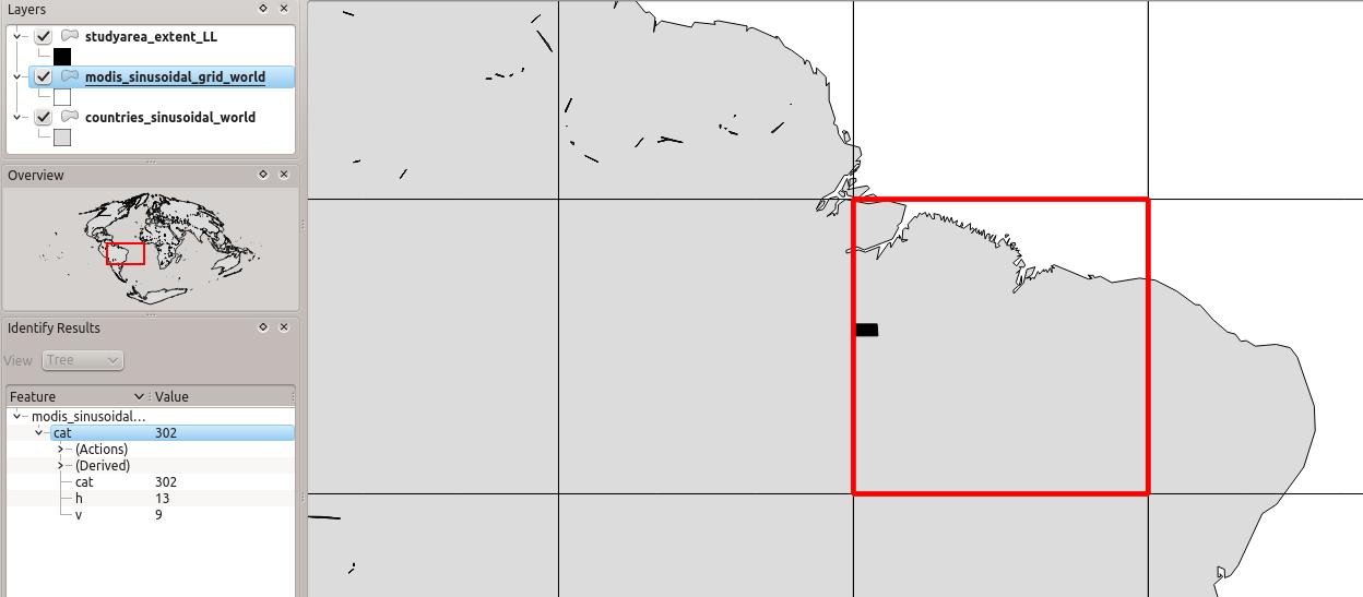
In Chapter 11 we pointed to the MODIS grid “to identify our tile, we use a shapefile with the MODIS tile system (http://gis.cri.fmach.it/modis-sinusoidal-gis-files, MODIS Sinusoidal GIS SHAPE files) and overlay it onto our study area (Figure 11.3). This shows...


