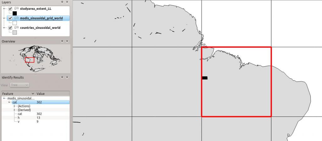
 In Chapter 11 we pointed to the MODIS grid “to identify our tile, we use a shapefile with the MODIS tile system (http://gis.cri.fmach.it/modis-sinusoidal-gis-files, MODIS Sinusoidal GIS SHAPE files) and overlay it onto our study area (Figure 11.3). This shows that we need tile h13 v9.” However, the link does not work anymore, but you can download the MODIS sinusoidal grid from here (Courtesy of Luca Delucchi, Fondazione Edmund Mach).
