Our book “Introduction to Spatial Data Analysis” is out
Our book "Introduction to Spatial Data Analysis" can be ordered and we already received our 40 copies for colleagues and reviewers. We hope that the book is a helpful starting with spatial data analysis using QGIS and R. More details including reviews by international...
First copies of “Introduction to Spatial Data Analysis” arrived
We received our first copies of "An Introduction to Spatial Data Analysis"! Great to see our book finally printed and flip through the pages. We hope that all readers find it as interesting as we experienced the writing. More details here:...
Introduction to Spatial Data Analysis book – in print
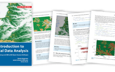
Our new upcoming book "Introduction to Spatial Data Analysis" using mainly QGIS and providing a smooth introduction to spatial coding in R is currently being printed and should be send out this summer. Read here for more details: http://book.ecosens.org/gsbook
Intro to Spatial Data book – discount for pre-order
Our book is available for pre-order! Order today at pelagicpublishing.com and save 30% in price! Activate the special offer during checkout using the discount code SPATIAL30.
Proofs of Intro to Spatial Analysis
we received the edited version of our book and are now working through the proofs of the upcoming book "Introduction to Spatial Data Analysis" using mainly QGIS but also introducing the very first steps of spatial programming using R. More details soon once the review...
Introduction to Spatial Data Analysis submitted
We finally submitted our getting started book "Introduction to Spatial Data Analysis". Everything a newby needs to know when interested to start working with spatial data raster and vector files as well as in-situ data collection using a GPS. Additionally creating...
review in Conservation Biology
a great review has been published in Conservation Biology. It is nicely addressing the scope of the book while also outlining what is missing - we are working on it to include also non-multispectral data - updates soon. see here for the review and other interesting...
MODIS sinusoidal grid download
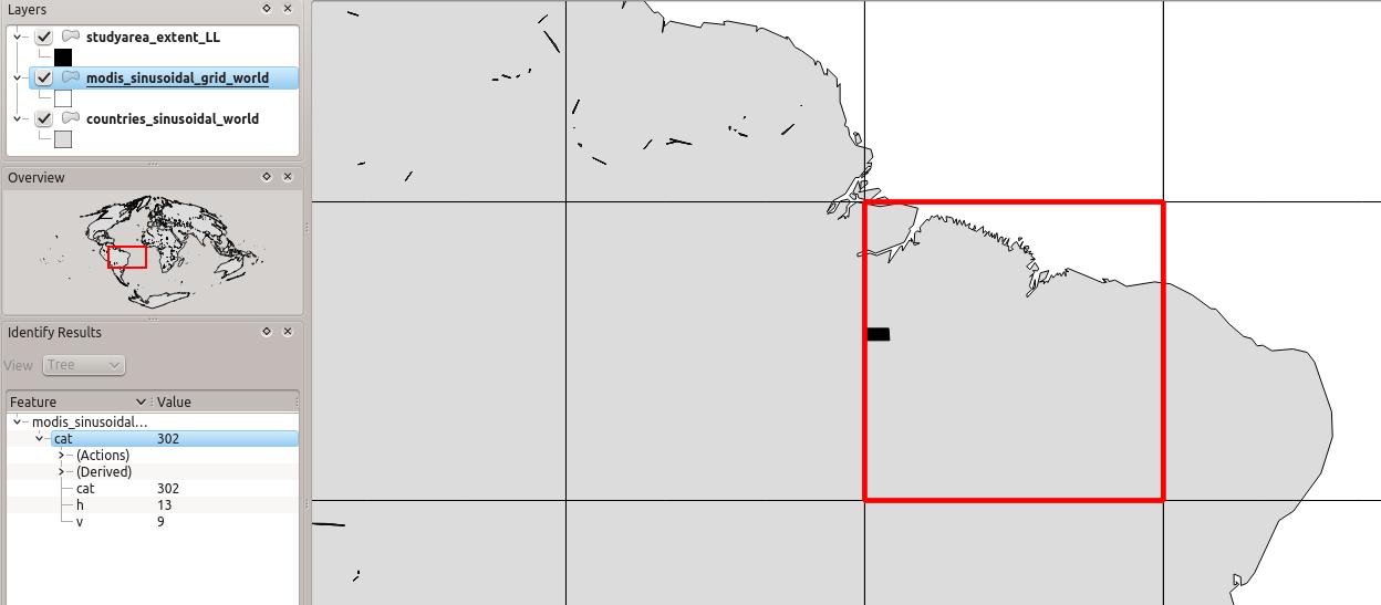
In Chapter 11 we pointed to the MODIS grid "to identify our tile, we use a shapefile with the MODIS tile system (http://gis.cri.fmach.it/modis-sinusoidal-gis-files, MODIS Sinusoidal GIS SHAPE files) and overlay it onto our study area (Figure 11.3). This shows that we...
review by Harini Nagendra
Review by Harini Nagendra of our book: "This massive guidebook provides an impressive integration of theoretical concepts of remote sensing, GIS and spatial analysis with practical approaches using a number of field examples, available as free datasets for people to...
review by Allison Leidner, NASA Earth Science Division
"The insights that remote sensing and GIS can provide to ecologists offer an amazing opportunity to advance research, but the learning curve to use such tools can be steep. This book helps the reader wade through what could feel like an overwhelming amount of...

